FAA-certified. Founder-operated. Serving Stowe and surrounding communities.

Practical aerial visuals for property decisions.

Based in Stowe, I help homeowners, landowners, and property-focused clients get a clearer view of land, structures, and site progress through straightforward aerial capture and reliable communication.

Request a Quote See Sample Work
Stowe Property & Land Capture
Stowe Property & Land Capture Stowe, Vermont & Surrounding Communities

Local & Responsive

Based in Stowe and focused on nearby property owners

FAA-Certified & Safe

Careful planning and reliable operation on every flight

48-Hour Turnaround

Useful deliverables delivered promptly for small projects

Services

What I Help With

View All Services →

Land Overviews

A clearer visual understanding of property layout, access, and surrounding context from above for homeowners and landowners.

Learn more →

Roof and Exterior Visuals

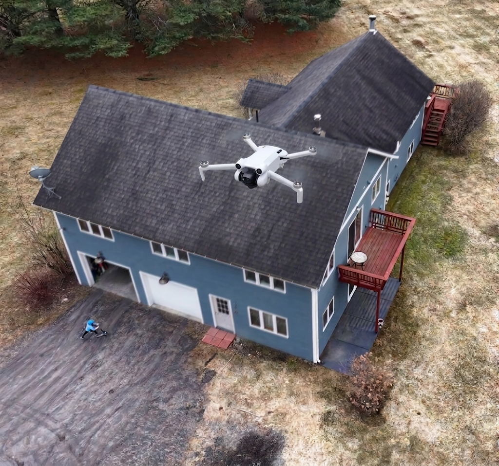
A safer and clearer visual look at rooflines and exterior conditions that are difficult to assess from the ground.

Learn more →

Construction and Site Progress

Useful aerial updates and progress photos for small construction projects, builders, and ongoing property work.

Learn more →
Jose Aponte - Founder & FAA-Certified Pilot

Founder-Operated

Built for practical work and direct communication

I started Altrion Imaging to offer a practical, trustworthy aerial service for property-focused work around Stowe and nearby communities. My background in engineering and technical work shapes how I plan, communicate, and deliver.

When you hire me, you are working directly with the operator. I focus on careful planning, clear communication, safe flights, and useful deliverables that fit the job without inflated claims or agency-style ambiguity.

Read More About Me

Ready for a clearer view?

If you need a clearer view of a property or project, request a quote and tell me what you are working on.

Request a Quote